![]()
![]()
|
|
||
|
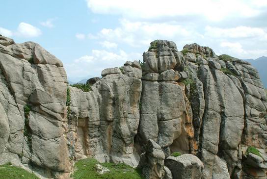
Datong Hui and Tu Autonomous County is located in the transitional zone between Qinghai-Tibet Plateau and the Loess Plateau. It lies in the east of Qinghai Province,in south of the Qilian Mountain, in the basin of Beichuan river. Mountains around it are Ma On Mountain next to mutual assistance Tu Autonomous County to the east, Goddess Mountain next to Huangzhong County and Haiyan County to the west, and Daban Mountain next to Menyuan Hui Autonomous County to the north. To the south of it is Xining city. |
Beautiful Datong |
|
|
Datong County is located in 36 degrees 43
minutes to 37 degrees 23 minutes north latitude, 100 degrees 51
minutes to 101 degrees 56 minutes east longitude, in the
altitude of 2,280 to 4,622 meters. Average annual temperature is
5.5 degree. Annual precipitation is the 450 to 800 mm.
Frost-free period during a year is 100 to 120 days. The region
covers 95 km from east to west and 85 km from north to south
maximum width, a total area of 3,090 square kilometers. It looks
like a mulberry leave on the map.
|
Datong's azalea
|
|
| The country covers 9 towns, 11 townships, with 289 village committees, 20 community committees, and the total population of 443,000, with 25 ethnic groups like Han, Hui, Tu, Tibetan, Mongolian and so forth. Ethnic minority population is 207,000, accounting for 46.7 percent of the total population. Agricultural population of 346,000 accounts for 78.1 percent of the total population. |
Beautiful field
|
|